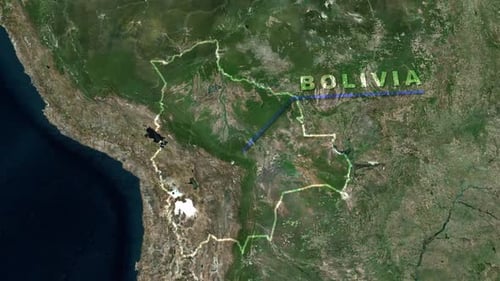
Earth Zoom to Bolivia Map with Country Borders Highlighted
By RevLine3DOne great value subscription from $16.50/month
- Unlimited downloads of 27+ million creative assets
- AI Tools: video, image and more
- Lifetime commercial license
- Easy cancellation
Already have an account? Sign in
Attributes
- Length
- 0:10
- Resolution
- 1920 x 1080
- File Size
- 12.3 MB
- Frame Rate
- 25 fps
- Alpha Channel
- No
- Looped
- No
- Video Encoding
- H.264
- Orientation
- Horizontal
- Commercial License
- Further Information
Description
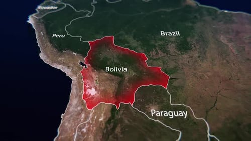
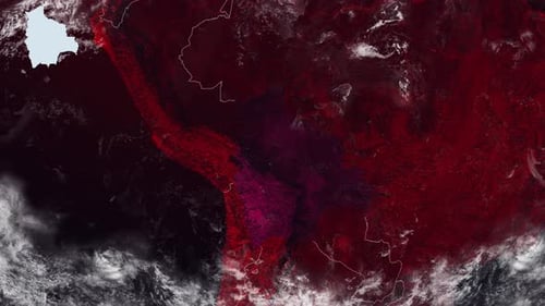
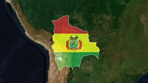
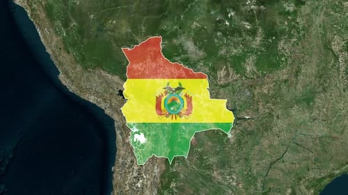
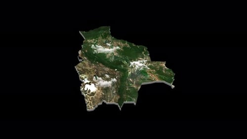
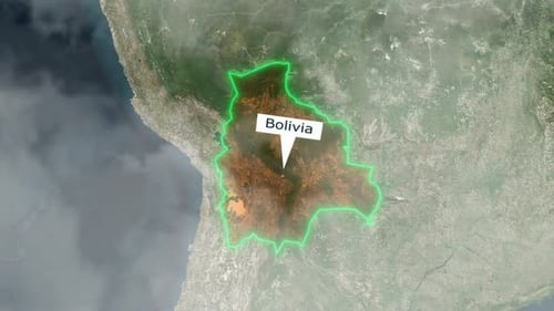
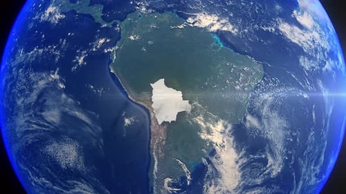
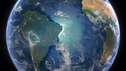
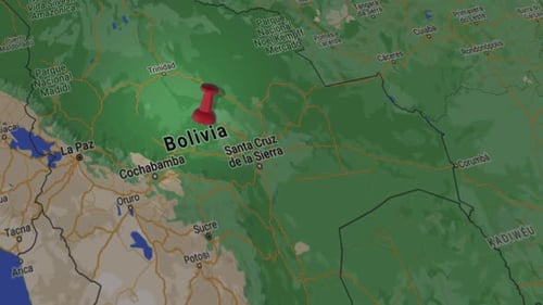
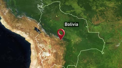
This animated clip opens with a stunning view of Earth from deep space, showcasing its vibrant continents and oceans under the glimmer of distant stars. The camera then smoothly transitions, executing a precise zoom-in on the continent of South America. The focus sharpens onto the country of Bolivia, whose national borders become clearly outlined with a glowing, animated line. Finally, the country's name, 'BOLIVIA,' emerges on screen, perfectly complementing the detailed satellite imagery. This visual effect is ideal for enhancing geographical presentations, travel documentaries, news segments, or educational content requiring a precise and engaging introduction to a specific global location.