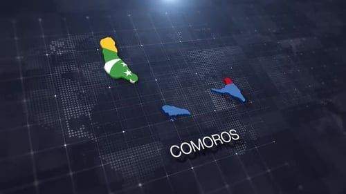
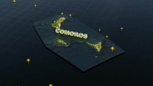
World Map Zoom to Comoros Islands with Animated Border and Text Label
By RevLine3DOne great value subscription from $16.50/month
- Unlimited downloads of 27+ million creative assets
- AI Tools: video, image and more
- Lifetime commercial license
- Easy cancellation
Already have an account? Sign in
Attributes
- Length
- 0:10
- Resolution
- 3840 x 2160
- File Size
- 499 MB
- Frame Rate
- 30 fps
- Alpha Channel
- No
- Looped
- No
- Video Encoding
- ProRes
- Orientation
- Horizontal
- Commercial License
- Further Information
Description
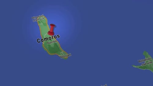
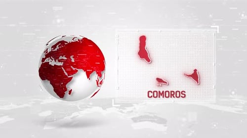
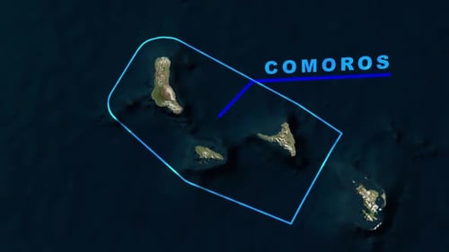
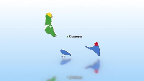
This animated clip presents a dynamic zoom from a full world satellite map, honing in on the Comoros Islands. As the camera approaches, the country's border illuminates with a sleek, pulsating blue outline, clearly delineating its territory. A crisp text label for 'COMOROS' then appears, identifying the highlighted nation. This modern, informative animation is ideal for documentaries, news segments, travel vlogs, or educational content requiring a precise and engaging way to pinpoint specific locations on a global scale. It effectively guides the viewer's attention from a broad overview to a detailed regional focus, enhancing geographical presentations with a professional visual flair.