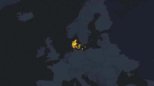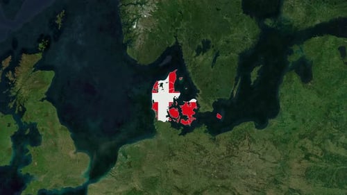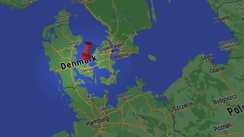
Satellite Map Animation Highlighting Denmark and Copenhagen
By candy_animationOne great value subscription from $16.50/month
- Unlimited downloads of 27+ million creative assets
- AI Tools: video, image and more
- Lifetime commercial license
- Easy cancellation
Already have an account? Sign in
Attributes
- Length
- 0:22
- Resolution
- 3840 x 2160
- File Size
- 122 MB
- Frame Rate
- 30 fps
- Alpha Channel
- No
- Looped
- No
- Video Encoding
- H.264
- Orientation
- Horizontal
- Commercial License
- Further Information
Description
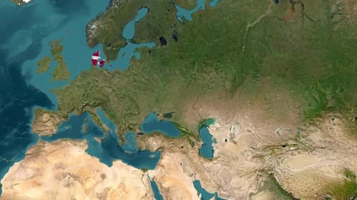
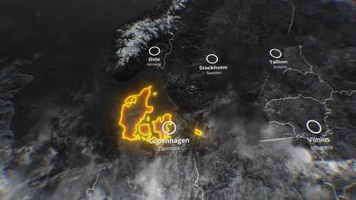
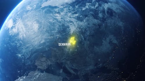
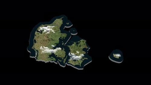
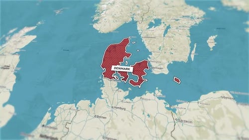
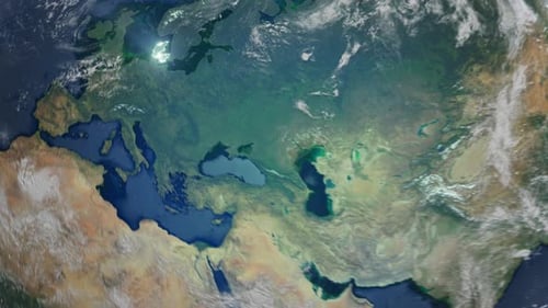
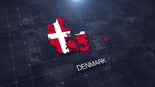
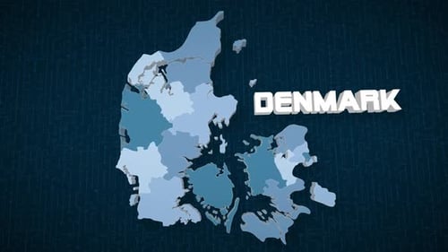
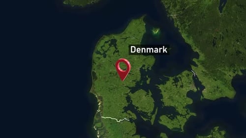
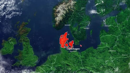
This animated clip features a detailed satellite map of Northern Europe, which smoothly zooms and highlights Denmark in red, revealing its capital city, Copenhagen, and other neighboring countries like Norway, Sweden, Estonia, Lithuania, and Belarus. The clean, modern design provides a professional aesthetic, suitable for various informational presentations. This visual asset effectively draws attention to a specific region with precise labeling.