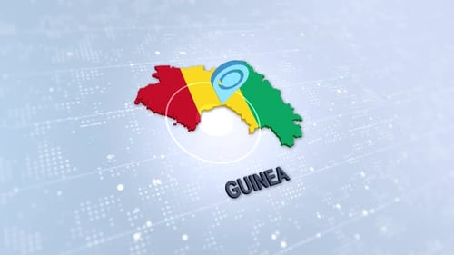
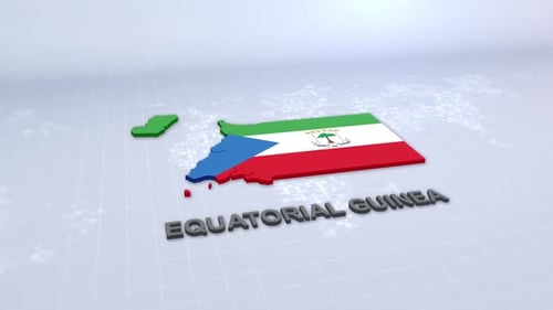
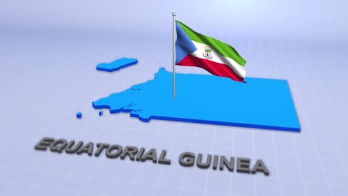
3D Animated Map of Equatorial Guinea with Flag and Location Pin
By meshgridOne great value subscription from $16.50/month
- Unlimited downloads of 27+ million creative assets
- AI Tools: video, image and more
- Lifetime commercial license
- Easy cancellation
Already have an account? Sign in
Attributes
- Length
- 0:15
- Resolution
- 1920 x 1080
- File Size
- 539 MB
- Frame Rate
- 29.97 fps
- Alpha Channel
- No
- Looped
- No
- Video Encoding
- ProRes
- Orientation
- Horizontal
- Commercial License
- Further Information
Description
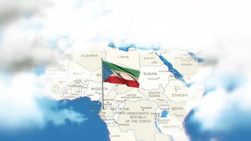
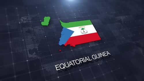
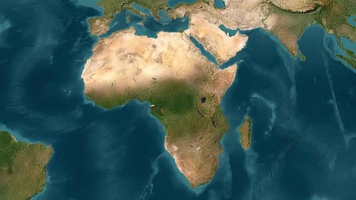
This dynamic animation features a three-dimensional map of Equatorial Guinea, initially appearing and then subtly zooming into focus. The national flag of Equatorial Guinea is seamlessly integrated onto the map's surface, while a prominent, pulsing location pin highlights a specific area within the country. The background consists of an abstract, modern digital grid with subtly moving particles, creating a sleek and high-tech ambiance. This animation is ideal for corporate presentations, geopolitical analyses, travel documentaries, or any project requiring a clear and engaging visual representation of geographical data.