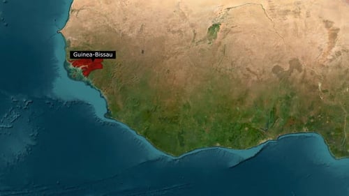
Animated Map Zoom and Country Highlight of Guinea-Bissau
By hazemgaballah222One great value subscription from $16.50/month
- Unlimited downloads of 27+ million creative assets
- AI Tools: video, image and more
- Lifetime commercial license
- Easy cancellation
- Length
- 0:10
- Resolution
- 1920 x 1080
- File Size
- 11.8 MB
- Frame Rate
- 30 fps
- Alpha Channel
- No
- Looped
- No
- Video Encoding
- H.264
- Orientation
- Horizontal
- Commercial License
- Further Information
Description
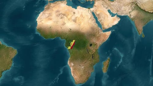
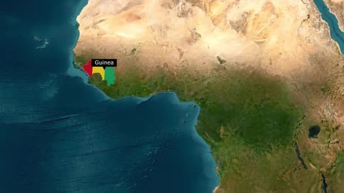
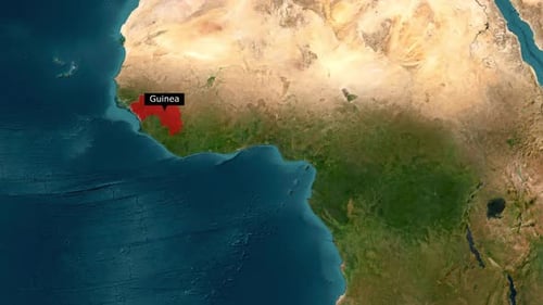
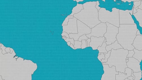
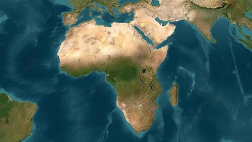
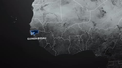
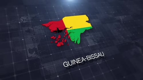
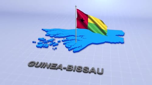
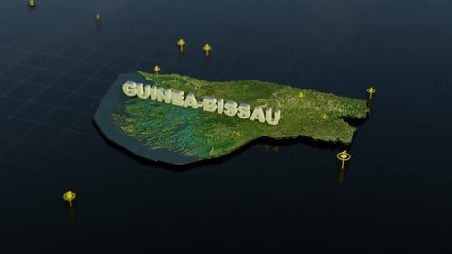
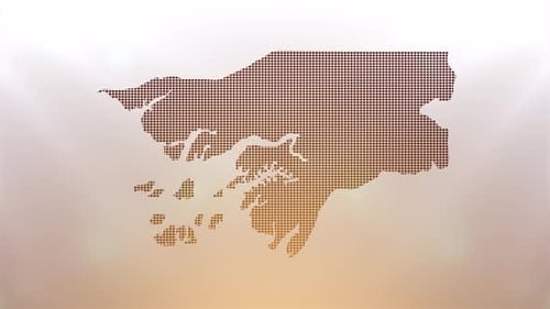
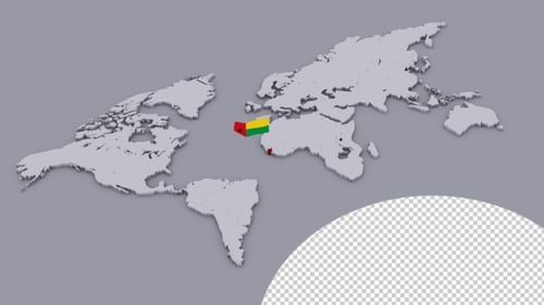
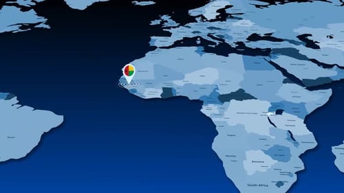
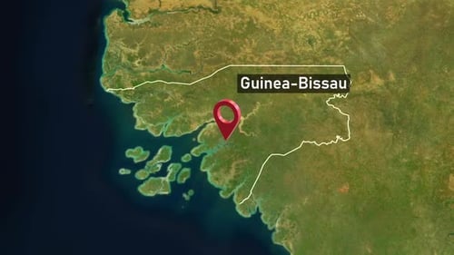
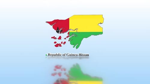
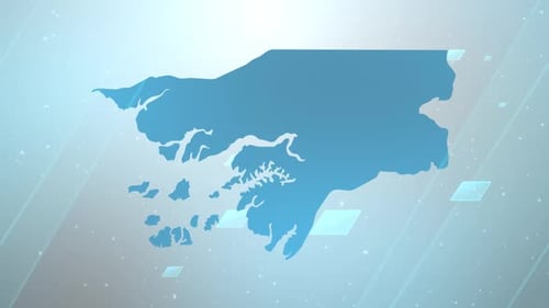
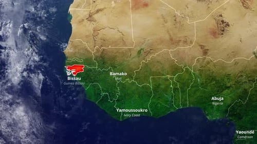
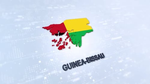
This animated clip presents a dynamic world map zoom, progressively narrowing its focus onto the country of Guinea-Bissau. The animation begins with a broad satellite view of the African continent, showcasing its diverse terrains and surrounding oceans, before smoothly transitioning to a closer, more detailed perspective of West Africa. As the view stabilizes on the target region, the geographical outline of Guinea-Bissau is precisely drawn with clean lines, subsequently filling with a distinct solid color to vividly highlight its national boundaries. A clear, readable text label for 'Guinea-Bissau' then elegantly appears, providing essential geographic identification. This professional and informative visual effect is ideal for documentaries, educational content, news broadcasts, travelogues, or corporate presentations requiring a sophisticated display of global locations. It efficiently directs viewer attention and emphasizes specific countries within a larger continental context, enhancing geographical narratives with clarity and precision.