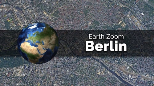
Satellite Map Zoom Animation to Specific City Location
By jasejlaOne great value subscription from $16.50/month
- Unlimited downloads of 27+ million creative assets
- AI Tools: video, image and more
- Lifetime commercial license
- Easy cancellation
- Length
- 0:15
- Resolution
- 1920 x 1080
- File Size
- 72 MB
- Frame Rate
- 30 fps
- Alpha Channel
- No
- Looped
- No
- Video Encoding
- H.264
- Orientation
- Horizontal
- Commercial License
- Further Information
Description
This animated visual effect presents a seamless journey from a high-altitude satellite view of Earth down to a specific urban destination. The camera gracefully descends from an orbital perspective, initially showcasing continents and oceans, then progressively revealing countries, regions, and finally the intricate details of a bustling city. The motion graphic simulates a realistic, GPS-style zoom, smoothly transitioning from a broad global overview to a precise street-level focus. Viewers will observe the gradual emergence of geographic features, from large landmasses and coastlines to detailed urban landscapes with roads, buildings, and infrastructure. This clean and modern animation is ideally suited for enhancing corporate presentations, educational content, travel documentaries, news reports, or any project that requires a professional and engaging way to illustrate geographic locations, demonstrate global connections, or pinpoint a specific point of interest on a map. Its high-quality visual fidelity and smooth camera movement provide an authoritative and compelling method for contextualizing information geographically.