Satellite Zoom Into Iceland Map Highlight Animation
By Motion_MasterOne great value subscription from $16.50/month
- Unlimited downloads of 27+ million creative assets
- AI Tools: video, image and more
- Lifetime commercial license
- Easy cancellation
- Length
- 0:10
- Resolution
- 1920 x 1080
- File Size
- 21.8 MB
- Frame Rate
- 30 fps
- Alpha Channel
- No
- Looped
- No
- Video Encoding
- H.264
- Orientation
- Horizontal
- Commercial License
- Further Information
Description
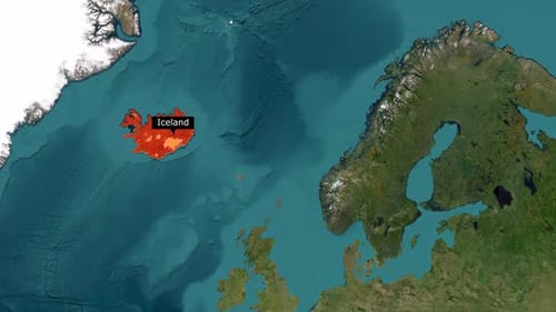
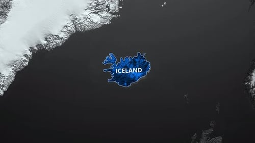
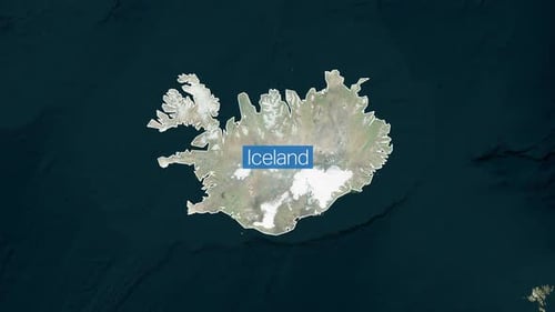
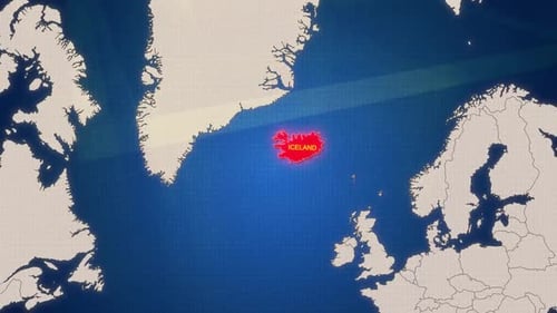
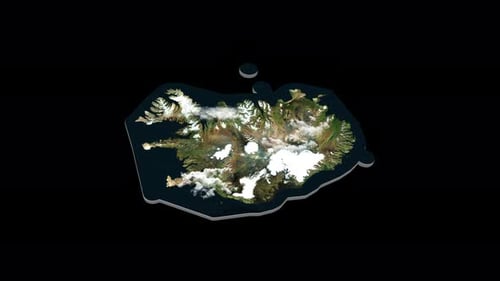
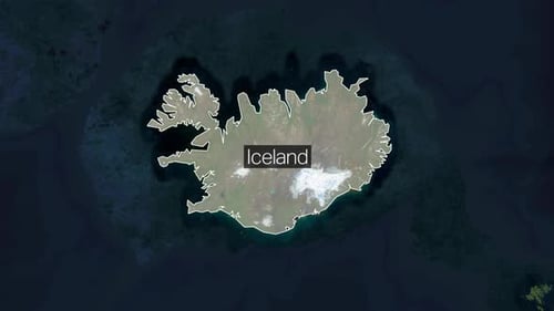
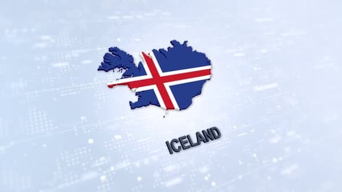
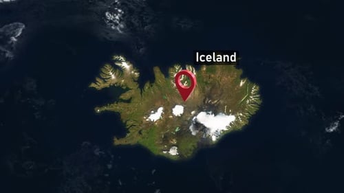
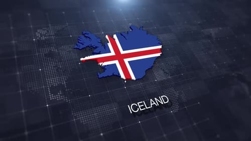
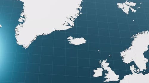
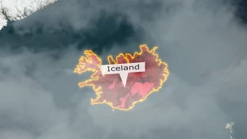
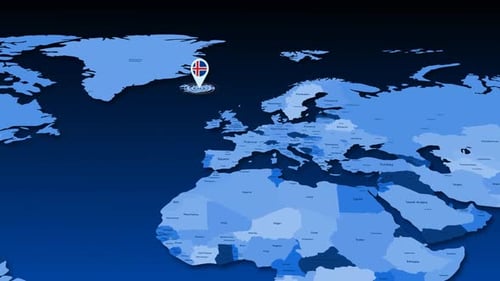
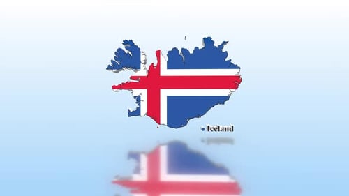
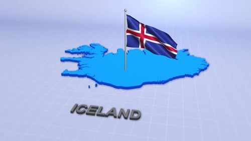
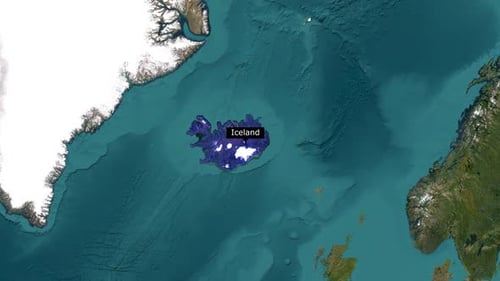
This animated clip begins with a broad satellite view of the North Atlantic region, offering a global perspective. The camera gracefully zooms in, focusing precisely on the island nation of Iceland. As the view tightens, the geographical outline of Iceland becomes clearly defined, filling in with a distinct color to emphasize its boundaries. A sleek text box then appears, identifying the country by name before fading away. The animation concludes with a detailed, high-resolution display of Iceland's terrain, showcasing its natural features like mountains and snow-capped regions. This visual effect is perfect for documentaries, travel vlogs, educational presentations, or any project requiring a clear and engaging geographical introduction or location spotlight.