Animated Earth Map Weather Forecast with Cyclone Tracker
By AnimatedStudioOne great value subscription from $16.50/month
- Unlimited downloads of 27+ million creative assets
- AI Tools: video, image and more
- Lifetime commercial license
- Easy cancellation
Already have an account? Sign in
Attributes
- Length
- 0:13
- Resolution
- 3840 x 2160
- File Size
- 76.2 MB
- Frame Rate
- 60 fps
- Alpha Channel
- No
- Looped
- No
- Video Encoding
- H.264
- Orientation
- Horizontal
- Commercial License
- Further Information
Description
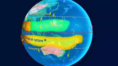
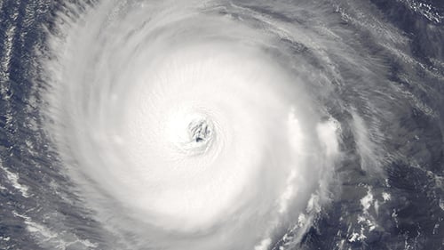
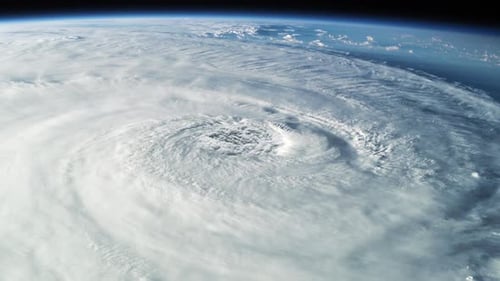
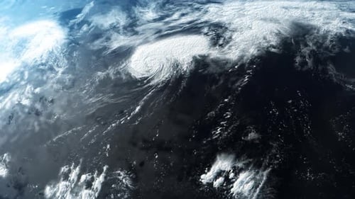
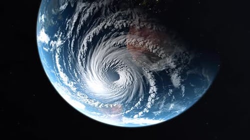
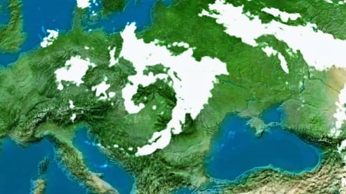
This animated clip presents a dynamic satellite view of the Earth, showcasing intricate weather patterns across continents. White, swirling clouds move realistically, simulating atmospheric conditions. A clear digital graphic appears, identifying a 'cyclone' with a distinct red 'L' for a low-pressure system, pinpointing its location. This visual effect is perfect for enhancing weather forecasts, scientific documentaries, news reports, and educational content that requires a professional and engaging representation of global meteorological events. It effectively visualizes complex data in an accessible and compelling format.