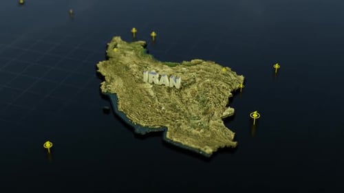
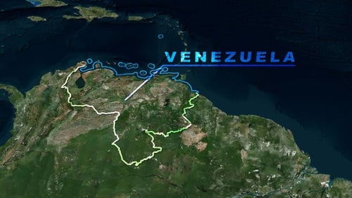
World Map Zoom to Country Outline and Text Reveal
By RevLine3DOne great value subscription from $16.50/month
- Unlimited downloads of 27+ million creative assets
- AI Tools: video, image and more
- Lifetime commercial license
- Easy cancellation
Already have an account? Sign in
Attributes
- Length
- 0:10
- Resolution
- 3840 x 2160
- File Size
- 708 MB
- Frame Rate
- 30 fps
- Alpha Channel
- No
- Looped
- No
- Video Encoding
- ProRes
- Orientation
- Horizontal
- Commercial License
- Further Information
Description
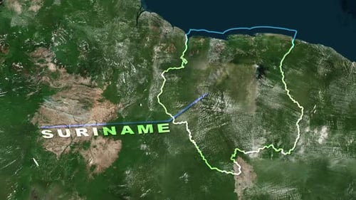
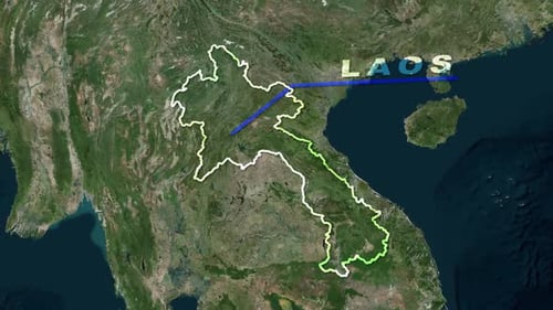
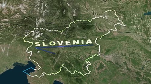
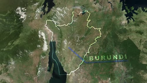
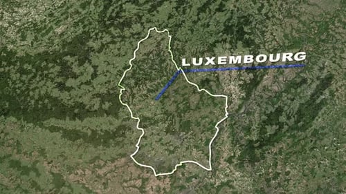
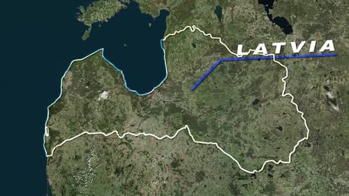
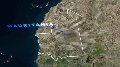
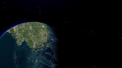
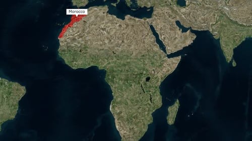
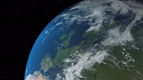
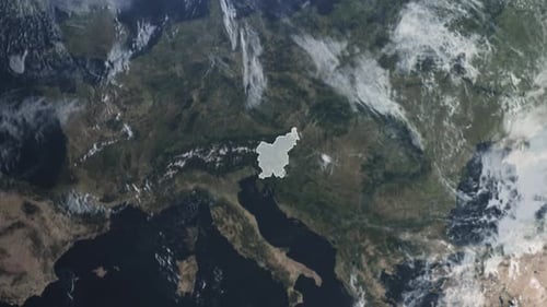
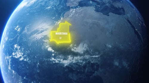
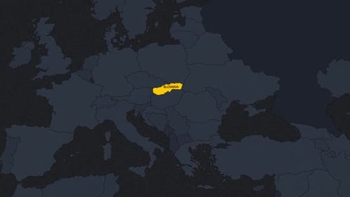
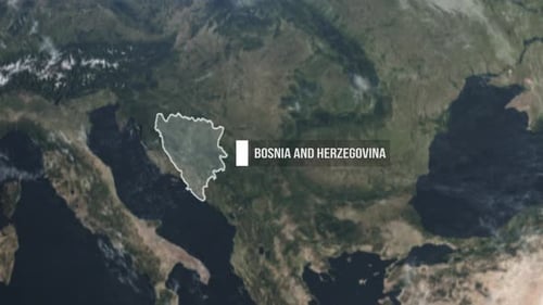
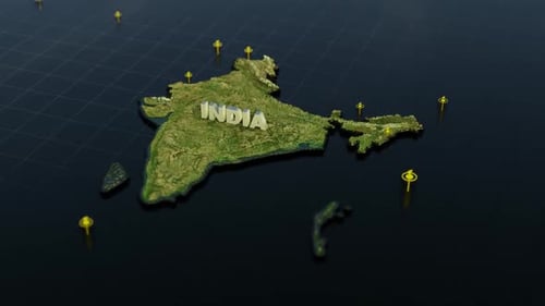
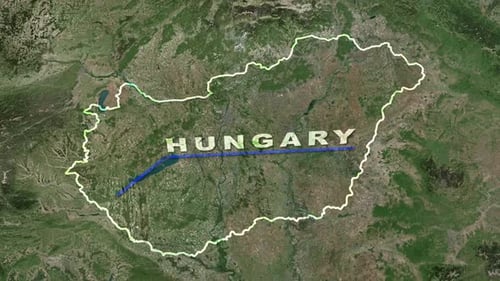
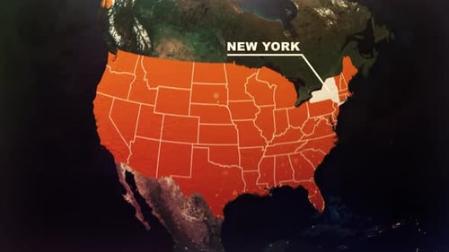
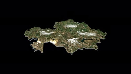
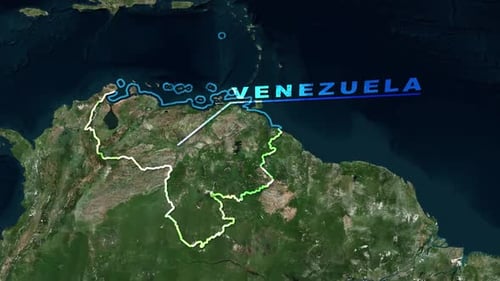
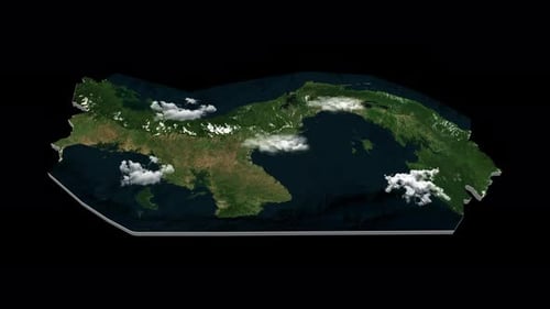
This animated clip begins with a satellite view of the entire world, smoothly zooming into a specific region. A clean white line precisely traces a national border. Subsequently, a blue line emerges, accompanying the animated reveal of a country's name in a clear, modern font. This visual effect is perfect for showcasing geographical data, travel routes, or highlighting specific regions in presentations, documentaries, or news reports. The crisp animation and realistic satellite imagery create an engaging and informative visual for any project requiring map-based geographical emphasis.