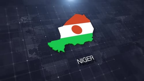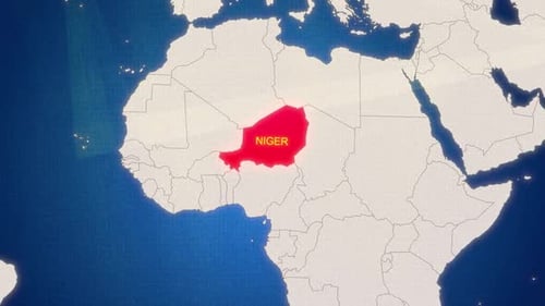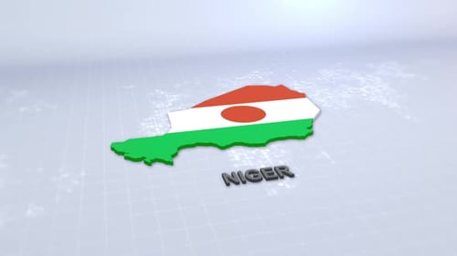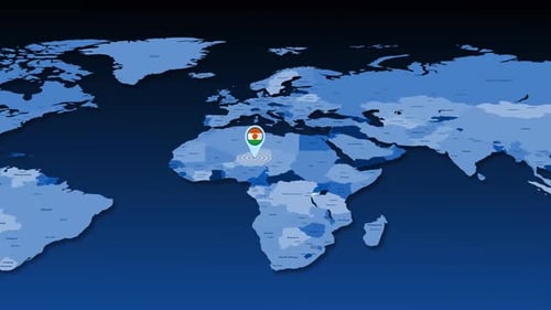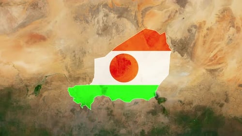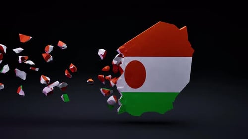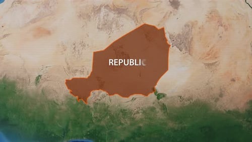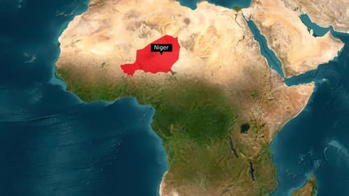
Animated Map Highlight of Niger with Country Name
By hazemgaballah222One great value subscription from $16.50/month
- Unlimited downloads of 27+ million creative assets
- AI Tools: video, image and more
- Lifetime commercial license
- Easy cancellation
- Length
- 0:10
- Resolution
- 1920 x 1080
- File Size
- 12.4 MB
- Frame Rate
- 30 fps
- Alpha Channel
- No
- Looped
- No
- Video Encoding
- H.264
- Orientation
- Horizontal
- Commercial License
- Further Information
Description
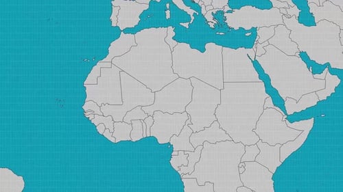
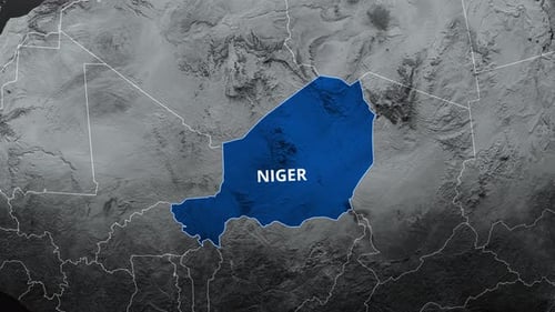
This animated clip presents a detailed geographical focus, beginning with a broad view of the world map before smoothly zooming in to pinpoint the country of Niger. As the camera approaches, Niger's borders are clearly highlighted with a white outline, which then fills in with a solid red color, drawing immediate attention to the region. Simultaneously, a clean black callout box appears, prominently displaying the country's name, "Niger," with a subtle animation. The visual style is clean and informative, perfect for enhancing educational content, travel documentaries, or geographical presentations, offering a clear and engaging way to introduce or emphasize specific locations on a global scale. This animation effectively identifies a country on a map for various informational projects.