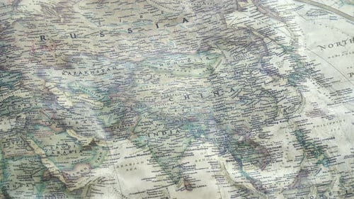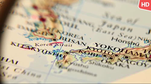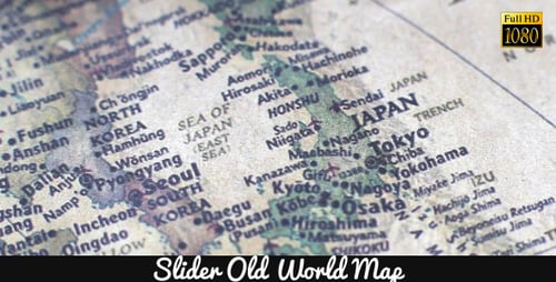
Close Up of Antique Map Showing East Asia
By FootageStockOne great value subscription from $16.50/month
- Unlimited downloads of 27+ million creative assets
- AI Tools: video, image and more
- Lifetime commercial license
- Easy cancellation
Already have an account? Sign in
Attributes
- Length
- 0:14
- Resolution
- 1920 x 1080
- File Size
- 208 MB
- Frame Rate
- 25 fps
- Alpha Channel
- No
- Looped
- No
- Video Encoding
- Photo JPEG
- Orientation
- Horizontal
- Commercial License
- Further Information
Description
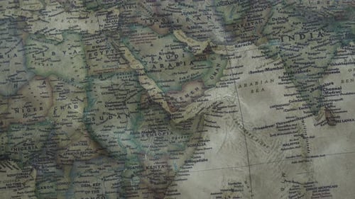
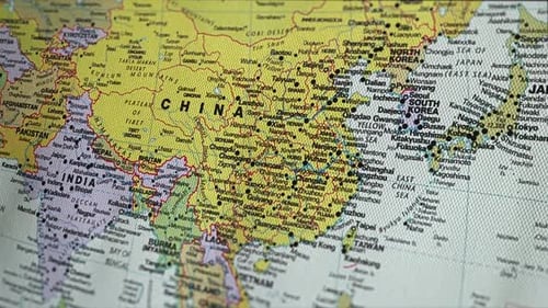
This is a close up shot of a map showing East Asia, including countries such as China, North and South Korea, and Japan. The map includes cities and towns, as well as some major geographic features like the Sea of Japan and the Korean Peninsula. This video would be great for use in projects about travel, world geography, or international relations.