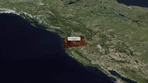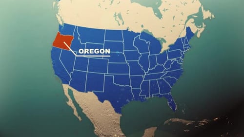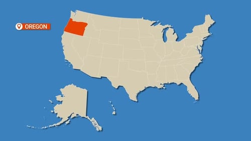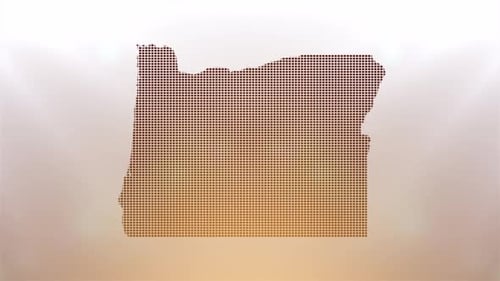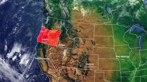
Animated USA Map Zooming to Oregon with State Borders and City Labels
By candy_animationOne great value subscription from $16.50/month
- Unlimited downloads of 27+ million creative assets
- AI Tools: video, image and more
- Lifetime commercial license
- Easy cancellation
Already have an account? Sign in
Attributes
- Length
- 0:22
- Resolution
- 3840 x 2160
- File Size
- 134 MB
- Frame Rate
- 30 fps
- Alpha Channel
- No
- Looped
- No
- Video Encoding
- H.264
- Orientation
- Horizontal
- Commercial License
- Further Information
Description
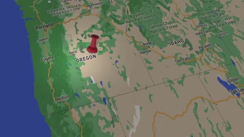
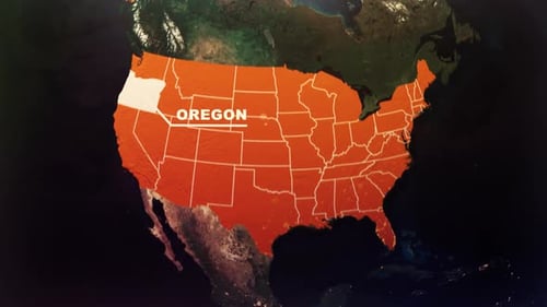
This animated clip presents a detailed satellite view of the United States, seamlessly zooming in from a broader continental perspective to pinpoint the state of Oregon. As the camera approaches, all U.S. state borders are clearly highlighted, and major city names such as Salem (Oregon's capital), Boise, Sacramento, Denver, and Des Moines are elegantly displayed. Oregon is prominently outlined in red, drawing immediate attention. This visual effect is perfect for enhancing presentations, news broadcasts, educational content, or corporate videos that require precise geographical targeting, demographic analysis, or travel narratives focused on the U.S. and its individual states.