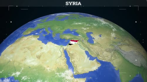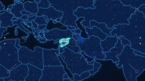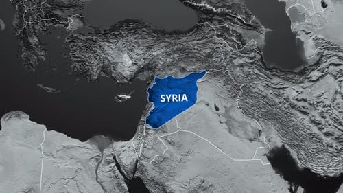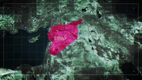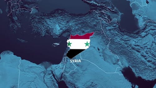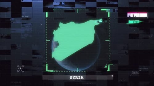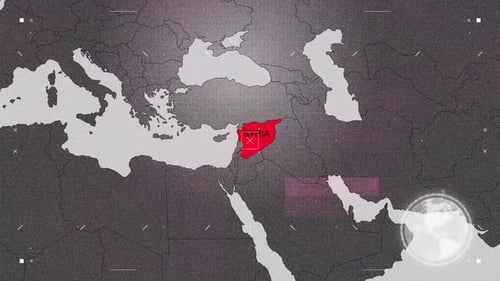
Global Map Zoom with Country Highlight and Digital UI
By mimi_ragabOne great value subscription from $16.50/month
- Unlimited downloads of 27+ million creative assets
- AI Tools: video, image and more
- Lifetime commercial license
- Easy cancellation
Already have an account? Sign in
Attributes
- Length
- 0:15
- Resolution
- 1920 x 1080
- File Size
- 37.6 MB
- Frame Rate
- 30 fps
- Alpha Channel
- No
- Looped
- No
- Video Encoding
- H.264
- Orientation
- Horizontal
- Commercial License
- Further Information
Description
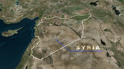
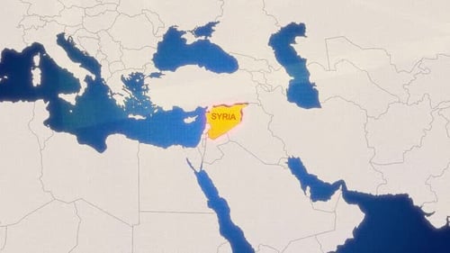
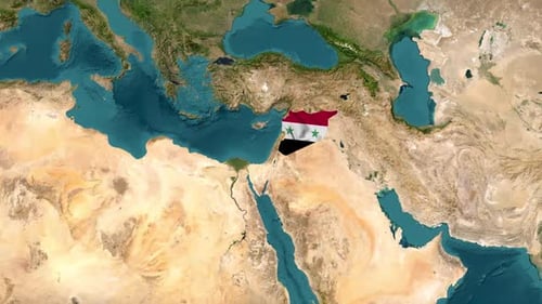
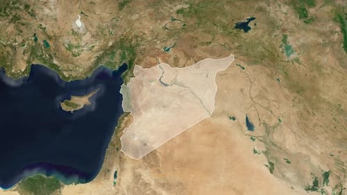
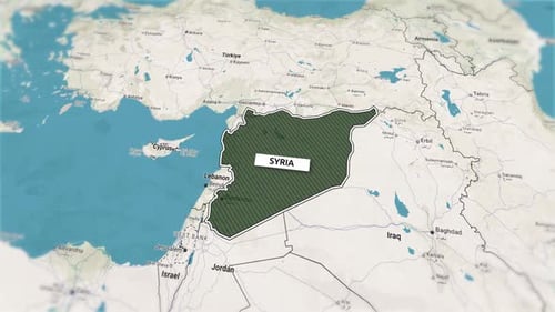
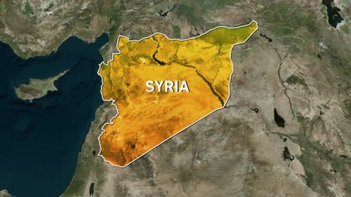
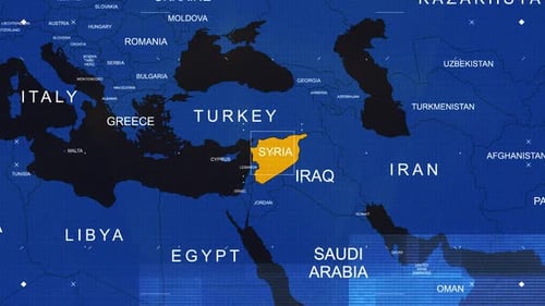
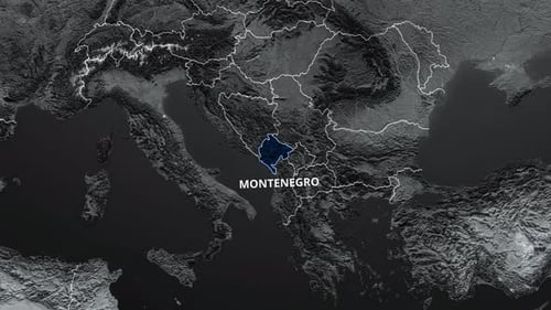
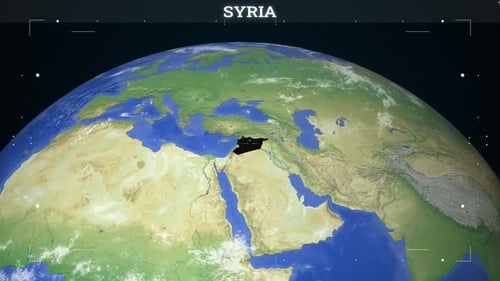
This animated clip presents a dynamic global map display, starting with a view of the Earth from space. The camera smoothly zooms into a specific region, precisely highlighting a chosen country (in this case, Syria) by filling its borders with a solid color. A clean, digital user interface with tracking markers frames the view, suggesting advanced technological data visualization. This visual effect is ideal for enhancing news broadcasts, educational presentations, and geographic analysis videos, providing a sophisticated and informative way to pinpoint locations and present global information with a modern, futuristic aesthetic.