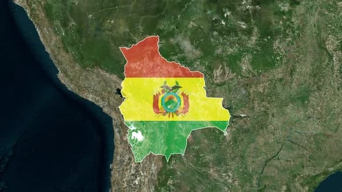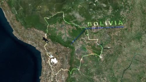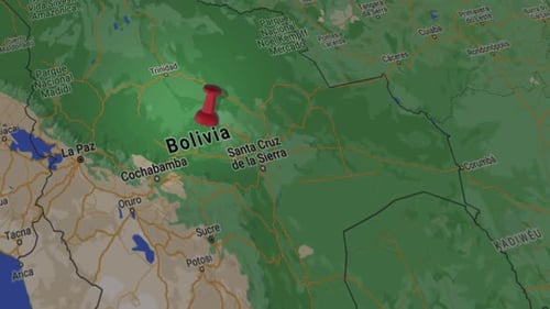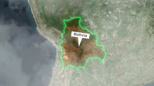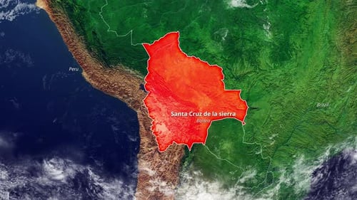
Animated Satellite Map Highlight of Bolivia With City Label
By candy_animationOne great value subscription from $16.50/month
- Unlimited downloads of 27+ million creative assets
- AI Tools: video, image and more
- Lifetime commercial license
- Easy cancellation
Already have an account? Sign in
Attributes
- Length
- 0:23
- Resolution
- 3840 x 2160
- File Size
- 129 MB
- Frame Rate
- 30 fps
- Alpha Channel
- No
- Looped
- No
- Video Encoding
- H.264
- Orientation
- Horizontal
- Commercial License
- Further Information
Description
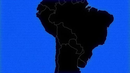
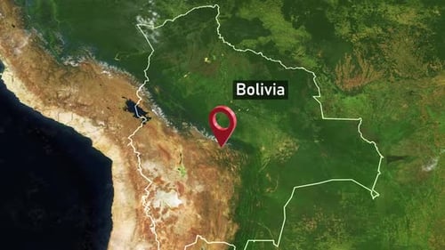
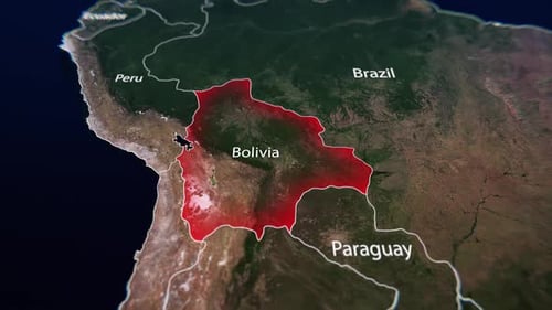
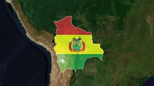
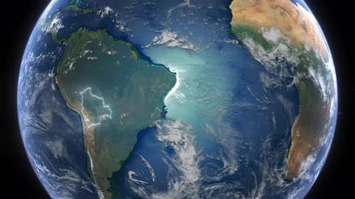
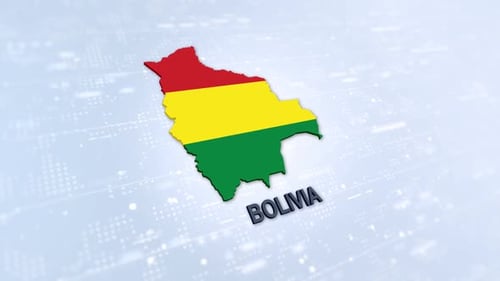
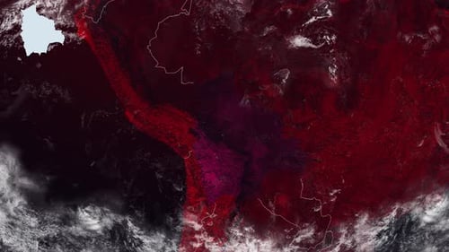
This animated clip features a realistic satellite map of Earth that smoothly zooms into the continent of South America. The animation precisely outlines the borders of Bolivia in red, then fills the country's interior with a vibrant red highlight. As the focus sharpens, text labels appear, identifying neighboring countries and pinpointing "Santa Cruz de la sierra" within Bolivia. This graphic is ideal for news broadcasts, educational presentations, travel documentaries, or corporate reports that require clear and dynamic geographical emphasis.